Help Import GeoKey data to CartoDB
CartoDB is an online platform that provides GIS and web mapping services. You can import data from various formats, including GeoJSON, and create visualise it through web maps.
-
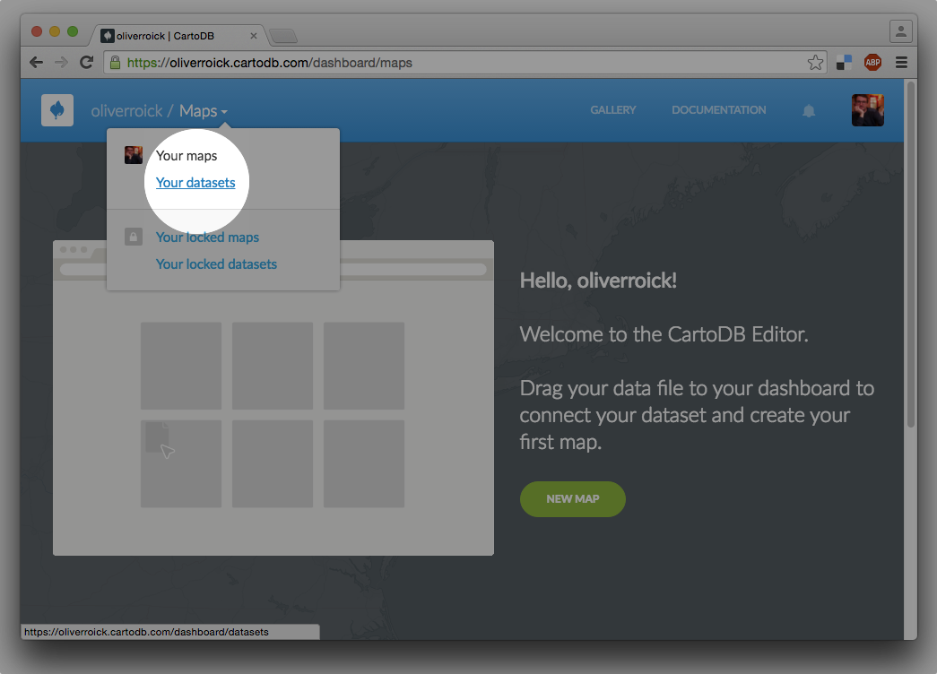
Switch to data sets and click “Your datasets”.

-
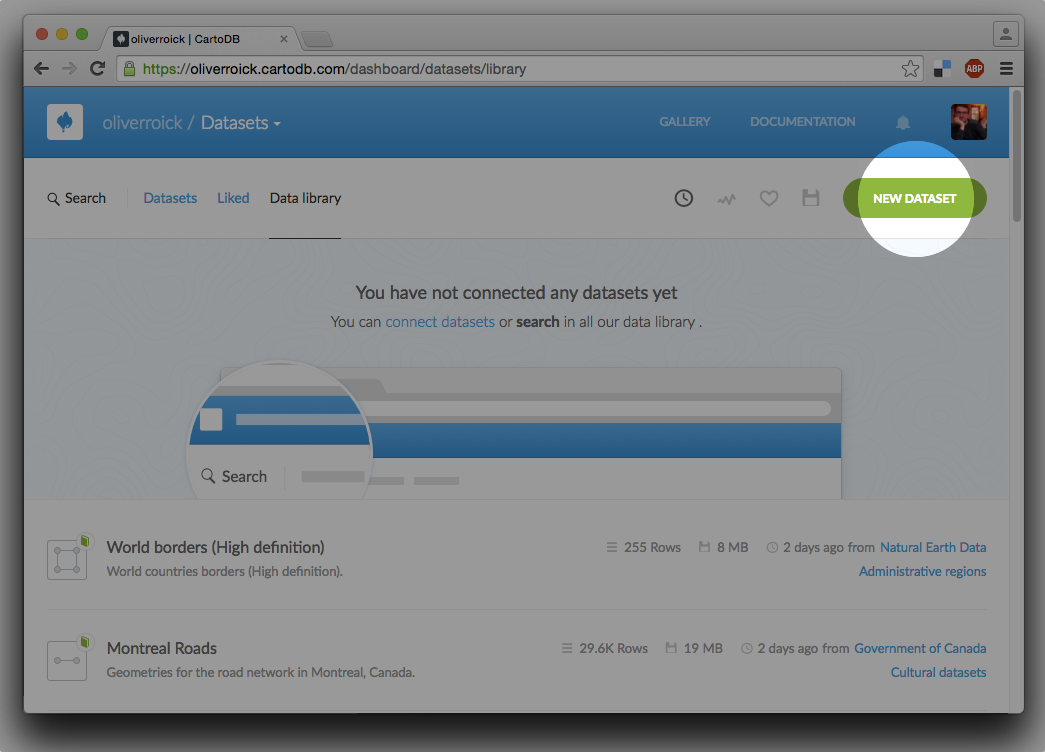
Select “New dataset”

-
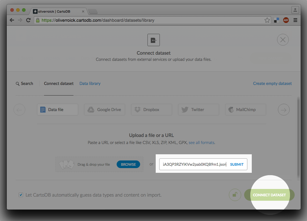
Underneath “Upload file or URL” paste the URL to the GeoJSON export you want to import.

-
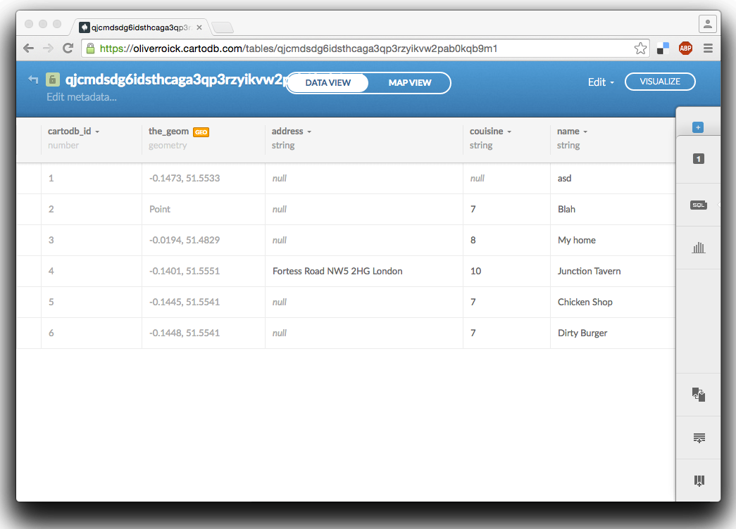
After the data has been uploaded successfully, you will see a table view of the dataset. To view a map, click on “Map View”.
