Help Import GeoKey data to QGIS
QGIS is a free and open-source GIS that you can use to analyse data collected with GeoKey and to make maps from your data. QGIS can read various formats, including GeoJSON.
You can export your data to GeoJSON and then import it into QGIS for further processing. Here’s how:
-
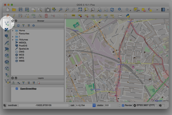
Start by adding a new vector layer

-
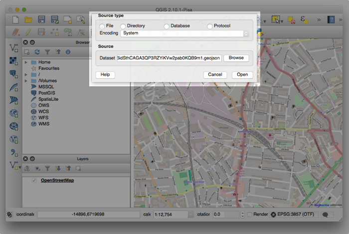
Select the file you want to import and click open.

-
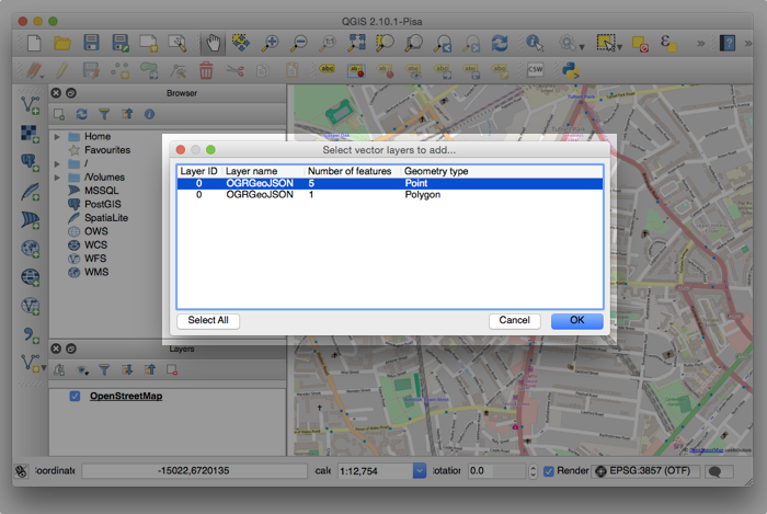
GeoKey exports all data — independent of their geometry type. In QGIS, however, layers have a specific geometry type, e.g. point, line or polygon. If the export contains mixed geometries, you have to select, which geometry types you want to import to create a new layer.

-
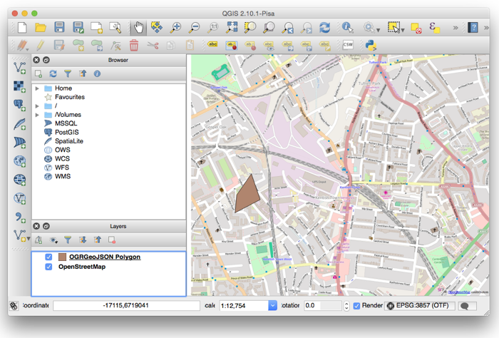
You can now see the data you imported both in the list of layers and on the map.
